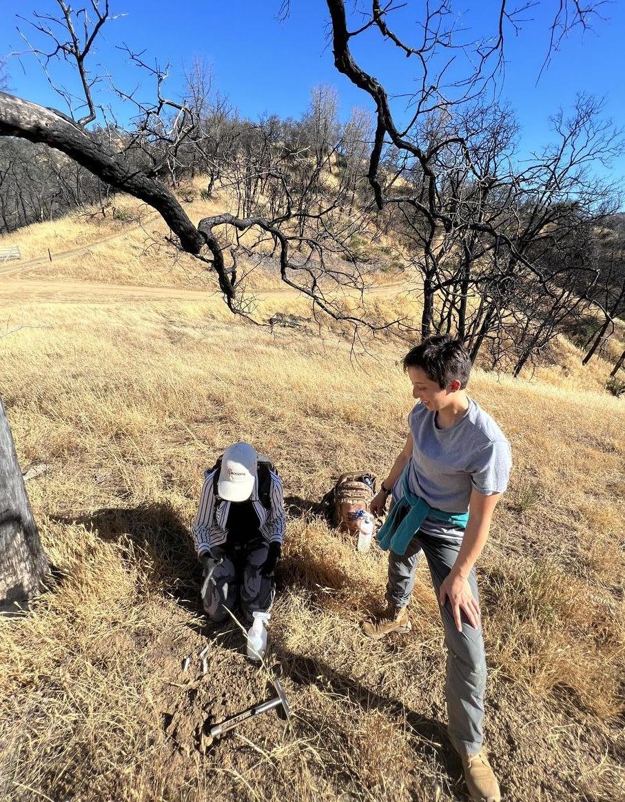
This July, thanks to a generous donation, we are launching a huge field campaign to sample from across all of California’s wildfire risk areas. Teams of undergraduate and graduate students (and staff when we can!) are collecting CALeDNA samples from two depths — surface and 10 cm deep — to increase collections. We have already amassed over 200 samples and as I write this, students are sampling Pepperwood Preserve, which burned in several of the large recent wildfires, and is currently implementing cultural burning to manage the land. Each sample we collect is a time capsule of biodiversity around the time of sample collection. We can’t go back in time. When an area burns, we can’t ask what it was like the prior year if we don’t have data, and eDNA is an easy kind of data to get, telling us information about the microbes, plants, and animals. Our goal is to use these thousands of collections as resources for grassroots investigations on how wildfire affects landscapes. Biodiversity data is surprisingly lacking in most wildfire studies. This will help California. Some of the bioblitzes are public, including one in the Santa Cruz area July 29 and in Los Angeles on July 30. Check out our events page because you can find our upcoming citizen science fieldwork there. Stay tuned for a blog to launch completely dedicated to this project.

We’ve been busy! Here’s our sampling activity from just the past week. Samples are on the Y axis.
Quail Ridge
A UC Reserve that completely burned in the CZU complex fire.

Sierra Streams near Nevada City
Collaboration with the Sierra Streams Institute. We samples streams the burned and didn’t burn, and sampled along a burn gradient of the Jones fire.

Tahoe
Grass Creek riparian areas